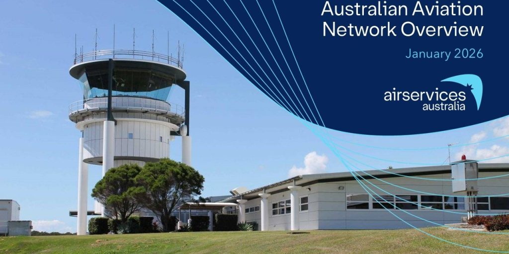
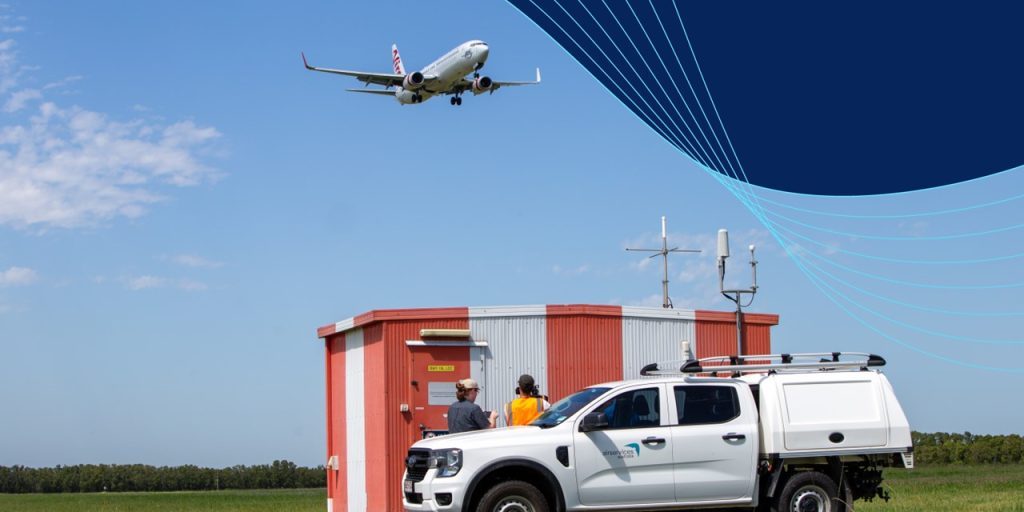
A pioneering new trial led by Airservices Australia will use advanced satellite positioning to guide aircraft to within a few metres, improving safety and efficiency in our skies.
The trial is one of more than 25 being undertaken across multiple sectors, funded through a $12 million Australian Government program. The projects are looking at the benefits of Satellite Based Augmentation System (SBAS) technology.
Australia currently depends on the satellite navigation systems of other countries such as the United States’ GPS, which provides less accurate positioning.
Geoscience Australia is the lead agency for the multi-million dollar program with Airservices Australia overseeing the new aviation project announced today.
Airservices Chief Executive Officer Jason Harfield said the new technology will greatly benefit regional carriers such as REX, QantasLink and the Royal Flying Doctor Service.
“This trial will test three new technologies, first generation SBAS, second generation SBAS and what’s known as Precise Point Positioning,” Mr Harfield said.
“It will improve safety, guiding pilots with greater accuracy, especially those flying into regional aerodromes operating under Instrument Flight Rules (IFR).
“SBAS assisted approaches are eight times safer than those which use ground-based navigation aids.
“This extraordinary new technology, which provides improved navigation and timing over GPS, will also decrease the likelihood of ‘go-arounds’ and cancellations or diversions due to variable weather,” he added.
The broader SBAS program will assess the benefits of improved access to satellite positioning technology across the country, helping many industries which rely on GPS such as agriculture, mining, transport, construction and utilities.
The program is Australia’s first step to joining countries such as the United States, Europe, China, Russia, India and Japan, which are already using SBAS technology.
The two-year program of work is in partnership with global technology companies GMV, Inmarsat and Lockheed Martin.
The Cooperative Research Centre for Spatial Information (CRCSI) is managing the industry trials, along with evaluation and reporting.
The New Zealand Government is also supporting the SBAS program contributing a further $2 million in addition to the $12 million from the Australian Government.
Over twenty other program trials are already underway, including several across the maritime and agriculture sectors.
Graphic credit: Geoscience Australia
ENDS
Media Enquiries: please call 1300 619 341 or email: media@airservicesaustralia.com


